Year-Round Weather and Climate in Bellingham, WA
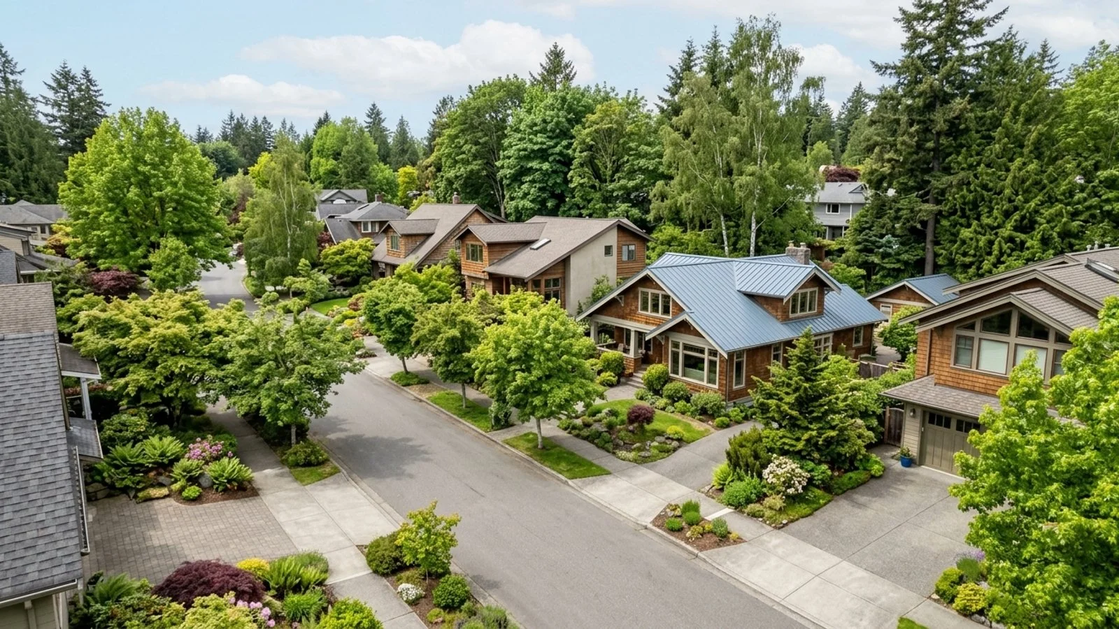
Bellingham, WA sits at an elevation of about 73 feet above sea level, right between the Puget Sound and the Cascade Mountains. For anyone living in Bellingham, that geography is what drives everything - the temperatures, the rain patterns, the occasional cold snap that catches newcomers off guard.
Buyers ask me about the weather constantly. How bad is the rain? Does it actually snow? How does it compare to Seattle? These are fair questions, and the answers matter when you're moving to Bellingham, scheduling inspections, or trying to read the housing market's seasonal rhythms.
Bellingham, WA Weather at a Glance
Bellingham carries a Marine West Coast climate, officially classified as Köppen Cfb. What that means in practice is mild temperatures most of the year - you're not dealing with the heat extremes you'd get further south, or the genuinely brutal winters of the interior states. The annual mean temperature sits at roughly 52°F.
For anyone planning to build or do significant renovation work, contractors here reference IECC Climate Zone 4C - a Marine or Mixed-Marine zone - which shapes building energy codes, window specifications, and insulation standards. Gardeners will want to know the area falls into USDA Plant Hardiness Zone 8a. These aren't trivia; they show up in real decisions.
Seasonal Shifts Throughout the Year
Spring and fall are distinct transitional periods here. Spring brings gradual warming and frequent showers. Fall brings crisp air and the start of heavier rain - November is the wettest month of the year.
July and August are what you're picturing: mostly clear skies, comfortable warmth, no oppressive humidity. That's when everyone who moved here from somewhere sunnier stops second-guessing themselves.
Winter shifts things back to cool and damp. December through February deliver the lowest temperatures and the bulk of whatever frozen precipitation the area sees that year.
Average Temperatures by Month
July is the hottest month, with average daytime highs around 74 to 75°F and nighttime lows dropping to a comfortable 54 to 55°F. That mild summer profile is exactly why a lot of older homes here don't have central air conditioning - for most buyers, that's fine. For some, it's worth factoring into a renovation budget.
December brings the coldest conditions. Average daily highs hover near 46°F, with lows around 34 or 35°F. January holds that same general pattern. Chilly and consistently damp, but rarely sub-zero.
The shoulder seasons land in between. April and October sit in the 50s and low 60s for daytime highs - light layers, not a parka.
Rain, Snow, and Humidity Levels
Bellingham gets about 39 to 42 inches of rain annually, which is just above the national average of 38 inches. The difference from places that get similar totals is how it falls - steady drizzle spread across many days, not short heavy downpours. November concentrates the most of it.
Snow happens, but how much depends on where exactly you're living. Averages range from 5 to 17 inches per year. December is the snowiest month at about 2.6 inches on average, with the rest distributed through January and February.
Humidity is present year-round. Relative humidity averages in the mid-to-high 70s overall - roughly 74% in July at its most comfortable, climbing to about 84% in January at its peak.
Severe Weather and Natural Hazards
No hurricanes, and tornadoes aren't a real factor here. The weather events that actually affect properties are winter windstorms and atmospheric rivers, which can bring heavy rain and localized flooding to low-lying areas.
The other thing worth knowing about is Fraser River outflow - northeasterly winds that push cold Arctic air down from Canada into the region. These events are brief, but they can freeze roads and exterior pipes fast enough to catch people unprepared when getting around Bellingham. If you're buying in a northern or exposed location, it's worth asking about.
Timing Your Visit or Relocation
If you're planning a trip to Bellingham for house-hunting, late June through August is the easiest window. Roads are clear, exteriors are accessible, and 70-degree highs mean you can walk property lines and inspect siding without misery. You can realistically do multiple tours in a day.
A winter move is doable, but it takes more planning. Shorter daylight hours, a real chance of rain or snow on moving day, and the need to protect flooring during the process. Hire movers who know Pacific Northwest conditions - it's not the place to figure that out on the fly.
How Climate Impacts the Local Housing Market
Weather here shapes both maintenance calendars and buyer behavior in the real estate market. As of mid-2026, the median home sale price in Bellingham sits around $641,000. Homes are spending roughly 12 days on the market before going under contract, and inventory sits at about two months of supply.
Properties frequently sell for slightly above list price. That dynamic doesn't disappear in winter - demand stays strong even through the wet months, so waiting for a "better" season isn't really a strategy.
For sellers, the seasonal maintenance checklist is straightforward: gutters cleared before the November rains, roof checked, heating system verified. These aren't optional touches - buyers and inspectors notice them.
Frequently Asked Questions
When is the best time of year to list a house in Bellingham, WA to avoid the worst winter weather?
Spring and early summer. December through February bring the coldest temperatures and the bulk of the area's 5 to 17 inches of annual snow, so listing by May or June puts buyers at your door during drier, milder conditions.
How does Bellingham's rainfall impact home inspections and the prevalence of mold in local properties?
With 39 to 42 inches of rain annually, moisture management is a standard focus during inspections here. Inspectors routinely check crawlspaces, attics, and rooflines for water intrusion. Working gutters and proper ventilation aren't upgrades - they're baseline maintenance expectations.
Are there specific Bellingham microclimates, like Sudden Valley, that experience more extreme snow or ice?
Yes. Bellingham's overall elevation averages 73 feet, but neighborhoods tucked into hills or valleys regularly see more snow than the immediate coastline. A Fraser River outflow event also tends to hit northern and more exposed areas harder than the rest of the city.
Do buyers typically need flood insurance for homes near Lake Whatcom or the Nooksack River?
It depends entirely on the specific property's location and elevation. Winter windstorms and atmospheric rivers can cause localized flooding in the region. Check the official flood zone maps and talk to your lender - homes in designated high-risk zones are required to carry flood insurance.
What should out-of-state buyers know about the costs of winterizing and heating a home in Bellingham?
Average lows in December and January run 34 to 35°F, and even with a Marine or Mixed-Marine zone classification, heating is a daily necessity for several months. Budget for standard winterization - furnace servicing, sealing drafty windows - as routine annual costs, not surprises.
How does the weather in Bellingham compare to Seattle for buyers relocating to the Pacific Northwest?
Both cities share a Marine West Coast climate: wet winters, dry summers. The meaningful difference is Bellingham's proximity to Canada, which makes it more exposed to Fraser River outflow winds. Those northeasterly events bring brief but sharper cold snaps than Seattle typically sees.